Big Gee in Action


| Album: photos:20021114 | |||
|
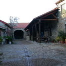
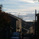
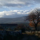
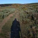
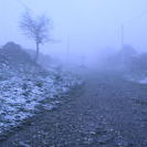
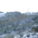
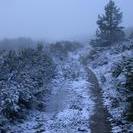
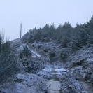
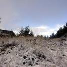
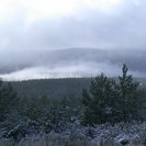
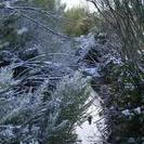
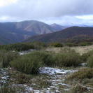
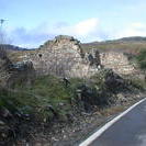
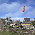
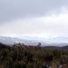
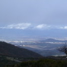
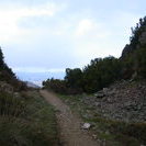
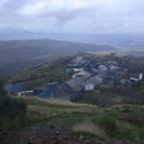
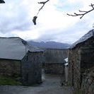
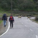
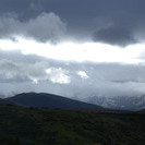
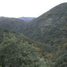
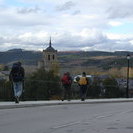
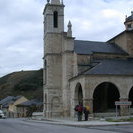
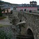
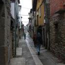
Rabanal del Camino - Molineseca 14 November 2002 Day's km: 25.5 Overall km: 929 Another late journal entry actually being written on the 15th. Often I am finished walking for the day around 14:00 - 15:00, but there is so much to occupy my time the journal often gets forgotten. This is by far my favorite day of walking yet. I left later than most as is usual. The sky was partly cloudy with the turbulent clouds only threatening rain. It is a steady 350 meter ascent for 6 km to the semi-ruined village of Foncebadón. Along the way, the mountain vistas were energizing, and it was clear that while it rained below yesterday snow fell here. It was not deep, but the trace amounts became a substantial covering as I climbed higher. Very beautiful. And then building clouds engulfed the landscape and visibility went down to about 25 meters. Now the sounds became as prominent as the earlier views. There is the soft crunch of boot on snow and maybe the grating of a displaced stone. Every 2 steps my staff makes a wooden 'thunk' sometimes preceded by the crack of ice and a splash when it pierces a frozen puddle. There are even the tiny sound the hairs in my goatee make when I run a finger over them to remove the condensation from my breath. The trail is rutted and wild in spots although it exits to the roadway before Foncebadón where it takes the Calle Real, Royal street, through the crumbling remains of the town. The decrepit buildings are eerie in the fog, and the 'street', not much better than a trail. Few people live here and collapsed stone homes are everywhere. Still upwards through evergreens along a narrow path near the road, the Camino climbs a little higher yet. For one brief moment the fog parts and I have a clear view of the Cruz de Ferro on top of a giant rock pile. The cairn has been here since antiquity. Both the Celts and Romans marked passes with piles of stones. It is a tradition for each pilgrim to add a stone. My stone came from only several kilometers away while others like Satoe bring a rock from home. Then it is obscured again, but as I approach I can see the silhouette of a pilgrim placing a rock on top. The highest point is 2 km further after the rubble of Manjarin and it's distinctive refugio reminiscent of Rusty's Hard Time Hollow on the Appalachian Trail. The high point is 1517 meters which is the highest on the Camino Frances, but not as high as Somport Pass that I crossed so long ago. But too soon the snowy conifers are behind me and the few isolated snowflakes turn to drops of water as I descend. It is a drop of 900 meters through El Acebo and Riego De Ambrós to Monineseca. I met the French-Canadians and a Spaniard along the way, but they headed on to Ponferrada while I stopped at a great restaurant the Spanish pilgrim recommended. He is from the area and used a cell phone to call his sister and get the restaurant name. It was another grand meal and great beer and wine. One the way out of town, I passed the refuge - a converted chapel. Inside were a happy Alessandro the Italian, Eric, and Satoe. I was still planning on continuing on to Ponferrada, but I turned back around and stayed there. There are 32 bars and many restaurants after all. Later, Xavier, Rosa, and Nadia (the 3 Basques) arrived as well as a Frenchman that started in Paris. |
|||
| Available Images: | |||
 |
 |
 |
 |
| dscn2674 jpg | dscn2676 jpg | dscn2677 jpg | dscn2678 jpg |
 |
 |
 |
 |
| dscn2681 jpg | dscn2682 jpg | dscn2683 jpg | dscn2684 jpg |
 |
 |
 |
 |
| dscn2685 jpg | dscn2686 jpg | dscn2687 jpg | dscn2688 jpg |
 |
 |
 |
 |
| dscn2689 jpg | dscn2690 jpg | dscn2692 jpg | dscn2693 jpg |
 |
 |
 |
 |
| dscn2694 jpg | dscn2695 jpg | dscn2696 jpg | dscn2697 jpg |
 |
 |
 |
 |
| dscn2698 jpg | dscn2699 jpg | dscn2700 jpg | dscn2701 jpg |
 |
 |
 |
 |
| dscn2702 jpg | dscn2703 jpg | dscn2704 jpg | dscn2705 jpg |
 |
 |
 |
|
| dscn2706 jpg | dscn2710 jpg | dscn2711 jpg | |
|
Notice: Undefined index: PATH_INFO in /home/restlessadva/public_html/include/stdBigG.php on line 582 Previous Day [Today] Next Day
|
|||